Guides · Kumaon by road
Travel guides to Kumaon by road
Kathgodam is the railhead, Bhowali and Khairna are the forks, and everything else follows from those three places.
- Local Kumaon routes
- Clear trip guidance
- Driver-led travel
Quick answer
Kumaon is easier to plan once you understand its shape. Almost everything starts at Kathgodam, where the broad-gauge railway ends on the bank of the Gaula river. From there the road climbs, and two junctions decide the rest of your trip: Bhowali, where the lake country splits from the Almora road, and Khairna, where the Almora road splits from Ranikhet. Get those two forks straight and the map stops being a list of names. The seven guides below cover fares, itineraries, individual destinations and the monsoon, and are written to be useful whether or not you ever book a car with us.
The seven guides
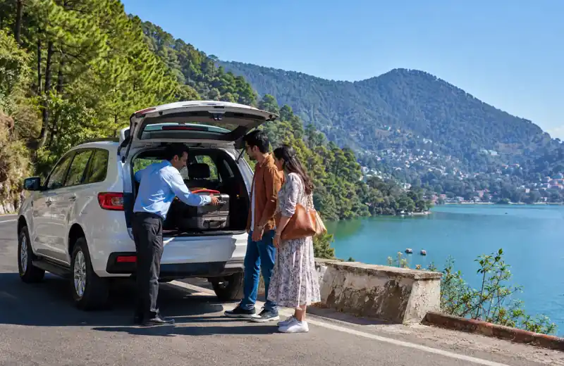 Kumaon taxi fare guideWhy two honest quotes for the same 34 km can differ threefold, what the empty return really costs, and the six questions to ask any operator before you book.Read guide
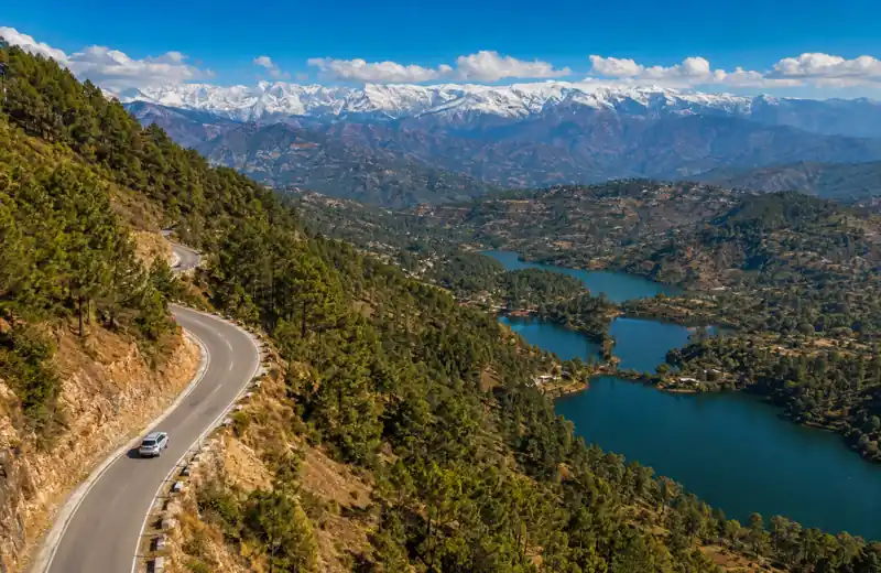 Kumaon circuit itinerariesFour, five, six and seven day circuits from Kathgodam, built on driving hours rather than distances, with the mistakes that wreck them.Read guide
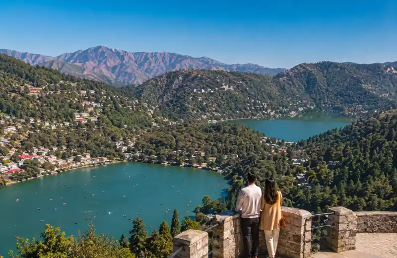 Nainital or BhimtalTwo lakes, forty minutes and seven hundred metres apart. Which one suits your group, your children, your parents and your stomach.Read guide
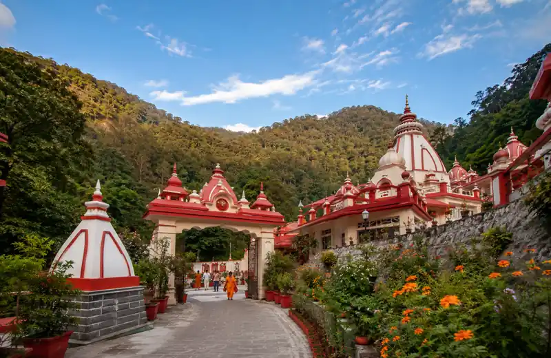 How to visit Kainchi DhamThe practical guide: when to leave, how long to allow, the 15 June mela, parking and shuttles, and whether to do Nainital the same day.Read guide
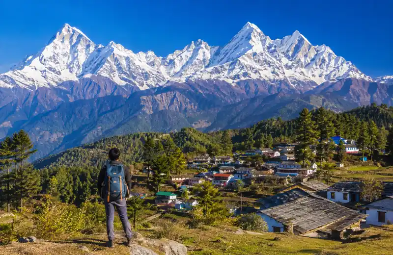 Munsiyari travel guideWhy we treat this as a two-day drive each way, what the road does over Kalamuni Top, and where the last reliable fuel is.Read guide
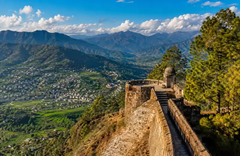 Pithoragarh travel guideThree genuinely different roads in, the Tanakpur railhead shortcut nobody mentions, and what the Saur Valley is actually like.Read guide
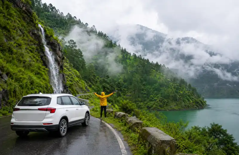 Monsoon travel in KumaonLate June to September on these roads: what closes, why a closure means days rather than hours, who to ring, and what still travels well.Read guide
How Kumaon is laid out
Read a map of Kumaon and it looks like a scatter of hill towns. Drive it and you find it is really a tree with a single trunk and two big branchings.
The trunk is Kathgodam. Station code KGM, four platforms, and the point where the broad-gauge line simply stops. The railway ends because the mountains begin. That is why almost every journey in this guide starts here, and why the arrival experience at Kathgodam station matters more than it does at an ordinary railhead — there is no onward train.
The first fork is Bhowali. Leaving Kathgodam you pass Ranibagh and then either climb directly to Nainital on NH-109, or take the gentler road through Bhimtal to Bhowali. Bhowali is where the lake country ends and the road east to Almora begins. Kainchi Dham sits 9 km along that eastward road; Nainital is 17 km back down it. Almost every visitor to Kumaon passes through Bhowali at least twice.
The second fork is Khairna, on the Kosi river beyond Garampani. North from Khairna takes you to Ranikhet; east along the Kosi valley takes you to Almora, and everything beyond Almora — Bageshwar, Munsiyari, one of the roads to Pithoragarh. When the Kwarab stretch between Khairna and Almora is shut, which it has been repeatedly since 2024, traffic is pushed round through Ranikhet, and both branches feel it.
The lower lakes and the high country
The practical division for a visitor is not east and west; it is low and high.
| The lower lakes | The high country | |
|---|---|---|
| Where | Bhimtal, Nainital, Kainchi Dham, Bhowali | Almora, Ranikhet, Bageshwar, Pithoragarh, Munsiyari, Dharchula |
| Distance from Kathgodam | 21 to 43 km | 70 to 300 km |
| Driving time | Thirty-five minutes to under two hours | Two and a half hours to twelve |
| Altitude | Bhimtal 1,370 m, Nainital 2,084 m | Almora 1,604 m, Ranikhet 1,869 m, Munsiyari about 2,200 m |
| Off an overnight train | All of it, comfortably | Fine to Ranikhet and Almora; a decision beyond |
| Monsoon exposure | Real but usually measured in hours | Real and occasionally measured in days |
| What it suits | Short trips, families, first visits, a base for day trips | Longer trips, repeat visitors, people who want the snow line in view |
Most disappointing Kumaon holidays we hear about are the result of trying to do both halves in four days. The lower lakes are close enough together that you can see three of them from one hotel. The high country is not, and it punishes optimism.
The shape of the Kumaon year
There are effectively four seasons here and they are not the ones on the calendar.
| Period | What it is like | What we would plan |
|---|---|---|
| March to mid-April | Clearing air, cool, quiet before the rush. Ranikhet is at its best from March. | Everything in this guide except the very highest roads. The best value weeks of the year. |
| Late April to mid-June | Peak season. Warm, busy, and the reason Nainital restricts Mall Road traffic in May and June. The Kainchi Dham anniversary on 15 June falls in it. | Book early, travel early in the day, and expect town entry queues. Munsiyari and the high country are at their best now. |
| Late June to September | Monsoon. Heavy rain, landslides, unpredictable journey times. Corbett closes most of its zones. Munsiyari and Dharchula are best avoided. | The lower lakes still work. Read monsoon travel in Kumaon before committing to anything east of Almora. |
| October to November | Our own favourite. Clear long views after the rain, thin crowds, cold nights. Munsiyari is good again from mid-September to the end of October. | Anything. This is when we would take our own family up. |
| December to February | Snow. Nainital in December and January; Ranikhet, Kalamuni and Munsiyari December to February. Kainchi Dham closes for part of the winter. | Beautiful and genuinely restricting. Roads shut at short notice and a hill-experienced driver stops being optional. |
A note on the numbers you will read on this site. Distances and times here are published as ranges, because that is what they honestly are. Official district figures, highway records and mapping services disagree with each other on almost every hill route in Kumaon, often by ten or fifteen per cent. Where sources conflict we publish the range and say so; where we could not verify something at all, we say that too rather than filling the gap.
How to think about a Kumaon trip
Three principles cover most of the planning we do for people.
Count hours, not kilometres. A realistic day in these hills is 150 to 250 km. Kathgodam to Munsiyari is about 280 km and takes ten to twelve hours — an average in the twenties. Nothing is wrong with the road; that is what continuous gradient and bends do to average speed. Any itinerary built on 300 km days was written by someone who has not driven them.
Pick a shape: base or chain. A base trip parks you in one place — usually Bhimtal or Nainital — and works outwards on day trips with the car held. A chain trip moves hotel each night and covers more ground. Base trips suit small children, older travellers and short holidays. Chain trips suit two weeks and a tolerance for packing. Trying to run a chain at base-trip pace is the commonest mistake, and our circuit itineraries are built to show the difference.
Decide your one non-negotiable thing. If it is the Panchachuli range, the trip is built around Munsiyari and everything else is filler. If it is Kainchi Dham on a particular date, that fixes your worst traffic day. If it is a tiger, the answer is Ramnagar and possibly a different train booking. Most people have one; few of them plan around it.
Where to go next
- All routes from Kathgodam
- Kathgodam taxi service
- Arriving at Kathgodam station
- Car rental in Kathgodam
- Our fleet
- Adi Kailash and Om Parvat
- Frequently asked questions
Planning something and not sure it fits?
Send us the dates and the places you have in mind. We will tell you honestly whether the days work, what we would cut, and what the road is likely to be doing at that time of year — whether or not you end up booking a car with us.
Common questions
How many days do you need for Kumaon?
Four days covers the lower lakes — Bhimtal, Nainital, Kainchi Dham — comfortably. Five to six days adds Almora and Ranikhet. Seven days is the minimum for Munsiyari, and even then most of it is driving. Fewer destinations done properly beats more done at speed.
What is the best month to visit Kumaon?
October and November, for clear air and thin crowds after the rain. March to mid-April is the best-value alternative. Late April to mid-June is peak season and busy; late June to September is the monsoon.
Is Kathgodam the right railhead for everywhere in Kumaon?
For Nainital, Bhimtal, Kainchi Dham, Almora, Ranikhet and the high country, yes. For Jim Corbett, Ramnagar is the nearer station. For Pithoragarh, Tanakpur is officially 138 km away against 180 to 215 km by road from Kathgodam.
What are Bhowali and Khairna and why do they matter?
They are the two junctions that determine a Kumaon route. Bhowali is where the lake country meets the road east to Almora, with Kainchi Dham 9 km along it. Khairna, on the Kosi, is where the Almora road splits from the Ranikhet road.
Are these guides useful if I am driving myself?
Yes, and they are written that way. The road descriptions, seasons, junctions, tolls and monsoon guidance apply to any vehicle. One thing that applies to self-drive visitors and not to us: the Uttarakhand green tax, charged at the state border since 1 December 2025.
Sources and further reading
Where this page states a fact about roads, permits or public information, these are the sources it relies on. Anything we could not verify, we have said so.